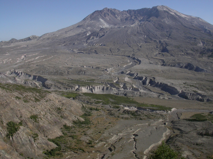
8-21-03: For our two-day trip, we decided to visit Mount Saint Helens. I suppose everyone should spend at least one birthday on a two-day road trip with the people who gave you your genes.

8-21-03: For our two-day trip, we decided to visit Mount Saint Helens. I suppose everyone should spend at least one birthday on a two-day road trip with the people who gave you your genes.

8-21-03: The fact that, 25 years later, it is still so apparent that something vast and apocalyptic happened is an amazing thing to behold. The side of this tree that was facing the blast was scoured of branches, bark, and even the first few layers of wood.
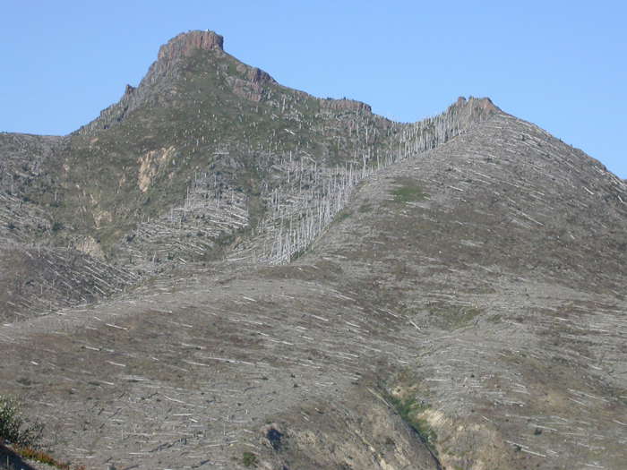
8-21-03: There are many trees that, though they remain standing, were killed instantly by the blast.
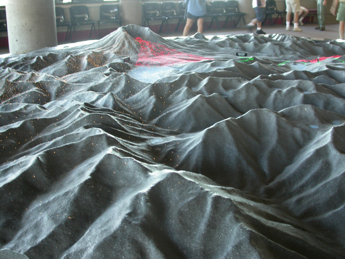
8-21-03: In the visitor's center, you can see a model of the area that shows where the ash, superheated mud, and blast all impacted the land (represented by different colors of lights).
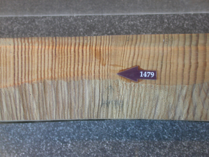
8-21-03: The visitor's center also has this section of tree rings, taken from a tree that was killed in the 1980 blast. The arrow marks a section of very narrow rings, marking stunted growth in the years following an eruption in 1479. Native American legends about this blast say that the eruption blew the top off of Mount Ranier! Interestingly, local legends say that Tahoma, the name for Mount Ranier, is the area that is cursed, not Saint Helens.
Now, take a good look at the arrow...
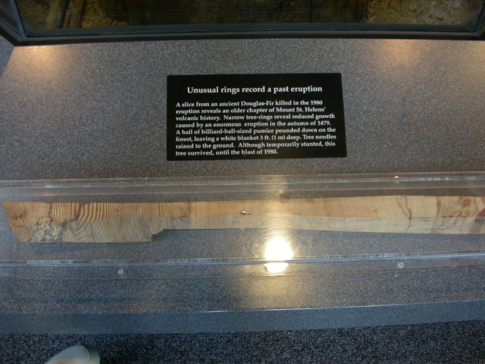
8-21-03: ... and note where its at on the tree. This was not a young tree in 1479! It was already easily older than most of the trees that are standing today. This tree may well have been 800 years old when it was killed in the 1980 blast.
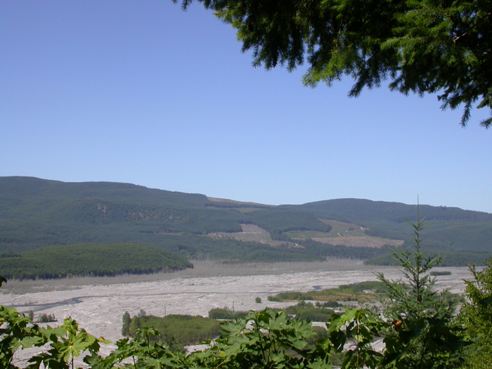
8-21-03: It is no wonder that the Northwest is a hot spot for environmentalists. We have so little left...
In order to see the next set of photos, move the mouse so that the arrow on the screen moves into the blue field that says next page
. The arrow might change into a hand when you do this. Once it's inside the blue field, press the left button on the top of the mouse.
 On to next photos